A multi-dimensional assessment tool for risk analysis and mitigation in rural space

Projects

The overarching objective of the study is to develop a user-friendly application that helps to unbundle the complexities and interrelationships between multiple risks, practices, and mediated epistemologies with respect to food security in the rural and peri-urban Kenyan communities. We focus on the subjective assessments of food security-related risks as perceived by people of different socio-economic strata, along a peri-urban-rural transect in the counties of Kisumu, Homabay, Baringo and Narok of Kenya. Homabay County is for piloting purposes thus comprehensive field study, data gathering, and analysis are anchored on the remaining three counties.

The research is conducted in all the sites during one similar season for three months. The methodologies involve survey and risk mapping of a total of 300 people, according to a carefully designed random as well as systematic sampling scheme, capturing vulnerable categories of youths, women, persons living with disability and the elderly. In addition, there are key informant interviews that shall involve a total of 10 professionals cutting across counties and national level. The survey complete with risk mapping will involve at least 20 people per segment (urban/peri-urban/rural-agrarian/rural-pastoral) and per county, giving us a total of at least 300 people. The composition of the group are both homogeneous at different levels of categorization and heterogeneous considering the different counties. To cross-validate results a set of focus group discussions are included into the project design, involving an offline version of the digital assessment tool on a large screen, being conducted in all counties and subcategories.

Workshops and stakeholder meetings are instrumental to help gain new data, validate existing data as well as for dissemination of results to policy makers and authorities to support policy making as well as to the local populations where relevant. There are three master student’s theses written under the project. In addition, we shall develop a technical paper for the application, peer reviewed publication and policy brief.

Principal Investigator

Funding Source

Federal Ministry for Economic Cooperation and Development and GIZ is exclusively managing the grant on behalf of and for the account of the Commissioning Party.

Key Activities and Milestones

We have made substantial progress in enhancing the efficiency and accuracy of household survey data collection and risk mapping. We developed questionnaire and risk mapping procedures which were piloted manually in Homabay. The manual surveys and risk mapping were time-consuming with one respondent taking between four to five hours per session. We have carried out a total of 100 manual surveys and 60 manual risk mappings in Homabay and Kisumu. Following the application development and partial implementation we have successfully digitized all aspects of survey and risk mapping data collection. Trials incorporating 30 respondents have been done in Kisumu using the developed digital surveys and risk mappings application. This technological innovation has significantly reduced the time required for one respondent survey and risk mapping data collection to approximately one and half hours, representing a remarkable improvement in efficiency. . In Kisumu County, digital surveys and risk mappings have been successfully completed along various transects. This milestone demonstrates the effectiveness of the new digital tools in real-world applications. Efforts are underway to further enhance the app by automating additional aspects of the data collection process. This will further boost efficiency and ensure that the project remains at the cutting edge of technological advancements in data collection and risk mapping.

Impact and Relevance

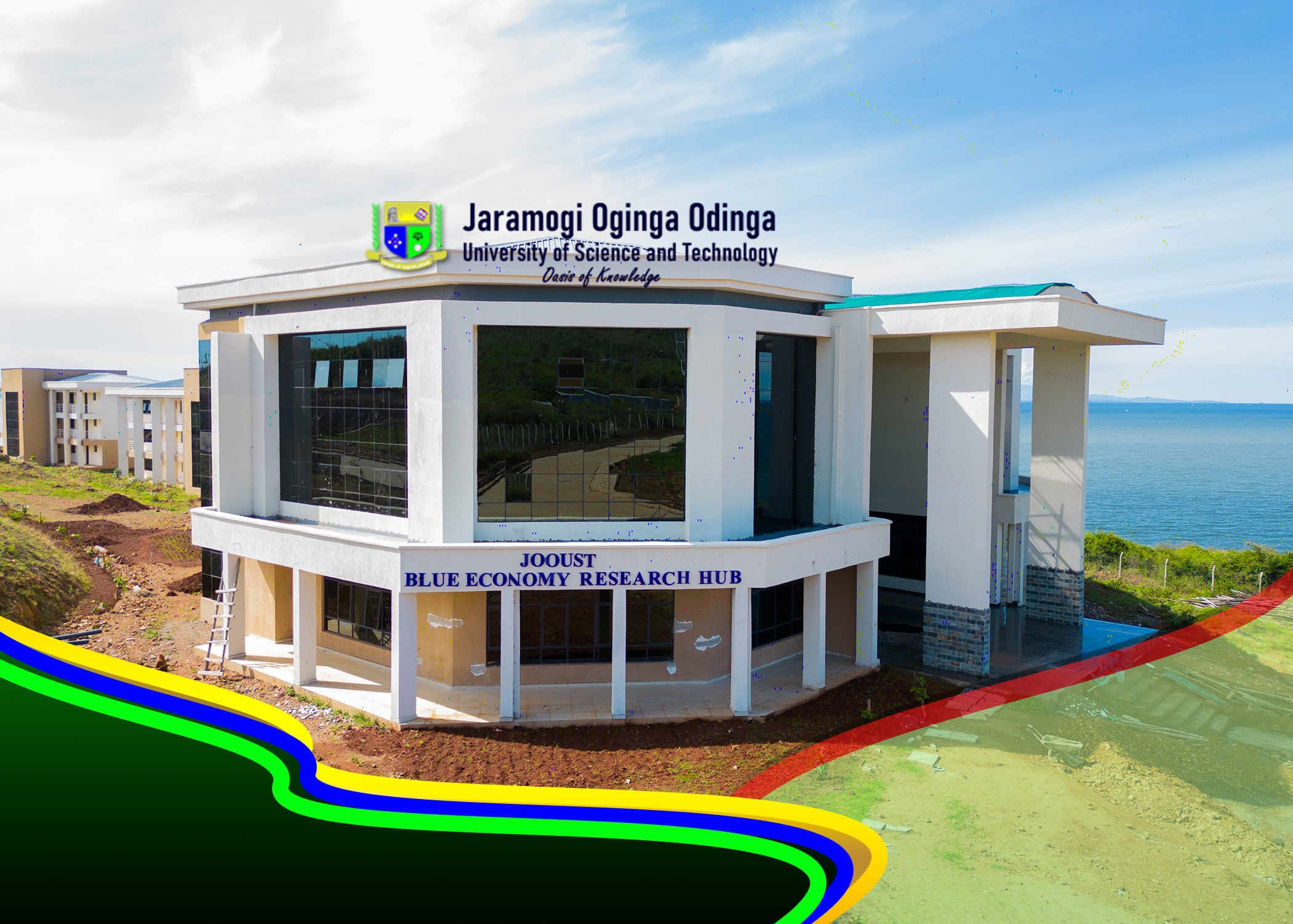
The new digital approach will significantly streamline subject matter dimensional risks data collection and processing to enhance data accuracy and consistency while minimizing human error. Our target for the citizen science would be further enhancement of the application for adoption and upscaling for application tool development and promotion. The areas of social science research will benefit from the project and the developed application are hosted by Jaramogi Oginga Odinga University of Science and Technology. We shall use the workshops and disseminate feedbacks to the participating counties respondents, focus group and key informants’ participants. All in all, the policy briefs to be developed will go a long way to promote good governance to enhance food security at national, county and society in general.